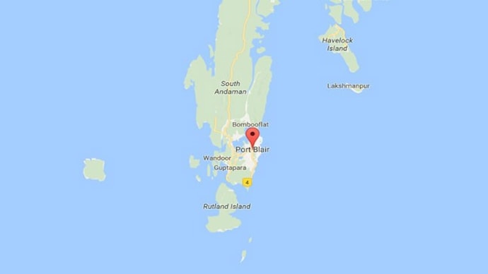
5.4 magnitude earthquake near Port Blair, Andaman and Nicobar Islands: USGS
The earthquake occured in the Andaman Sea, 162 kilometres from Port Blair.

Port Blair, Andaman and Nicobar Islands (Photo: Google Maps)
In Short
- A 5.4-magnitude quake is considered moderate.
- Andaman and Nicobar islands fall into the "Very Severe Intensity" seismic zone
- A 5.9-magnitude earthquake hit the islands on March 14.
An earthquake measuring 5.4 on the Richter scale occured this morning in the Andaman Sea, the United States Geological Survey (USGS) said.
The quake hit 162 kilometres south-west of Port Blair, the capital of the Andaman and Nicobar Islands.
As of 6:39 am, no loss of life or property was reported, the news agency ANI said in a tweet.
A 5.4-magnitude quake is considered moderate. An earthquake must measure at least 6 on the Richter Scale to be considered strong.
advertisement
The Andaman and Nicobar islands fall into the "Very Severe Intensity" seismic zone, the fifth in a rubric defined by the Bureau of Indian Standards.
A 5.9-magnitude earthquake hit the islands on March 14.
(More inputs are awaited)
--- ENDS ---
