- News
- City News
- gurgaon News
- Now, data on flora, fauna & forest cover at your fingertips
Trending
This story is from October 19, 2016
Now, data on flora, fauna & forest cover at your fingertips
For better monitoring and conservation, a geographic information system (GIS)-based digital map of forest areas in the state is being developed by the Haryana forest department.
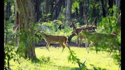
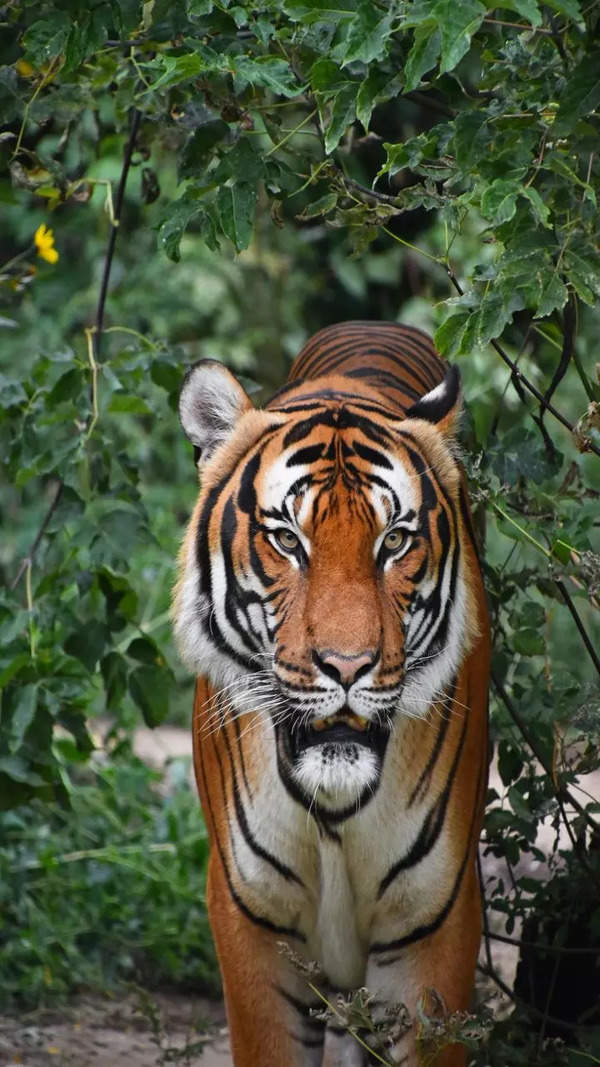
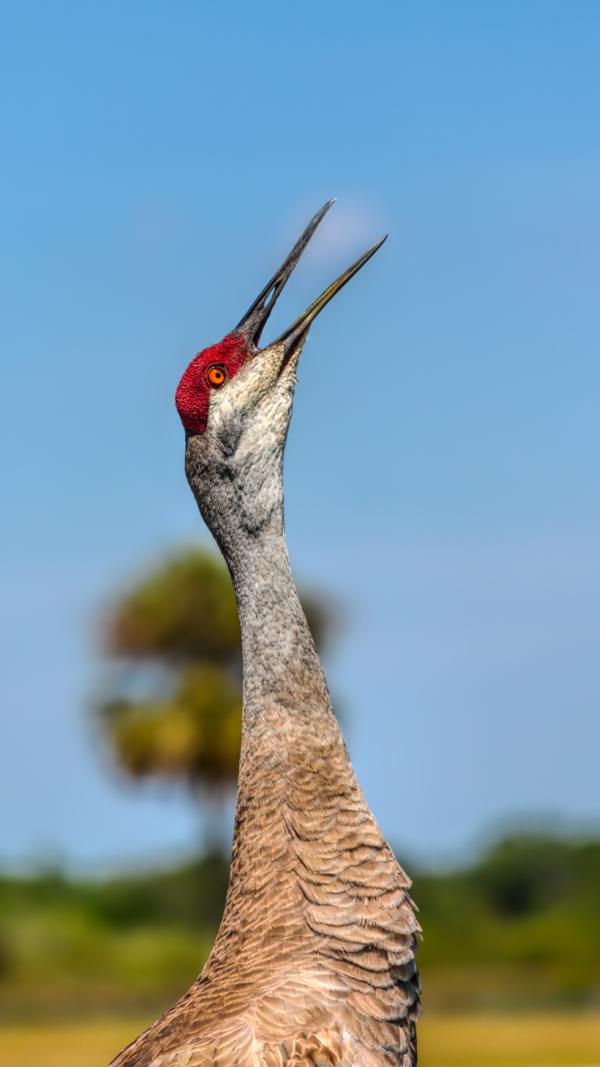
GURGAON: For better monitoring and conservation, a geographic information system (GIS)-based digital map of forest areas in the state is being developed by the Haryana forest department. The mobile-based application will provide three-dimensional view of any chosen forest area with relevant data -- right from demographic details to number of trees and animal species.
Officials said the application will help the forest department in monitoring forest area with limited manpower and resources, checking encroachment and settling disputes related to boundary and land use of a particular area.It will also be of great help to the forest department in conservation of the Aravalis, where most of the areas are not recorded as forest and are under constant threat from realtors.
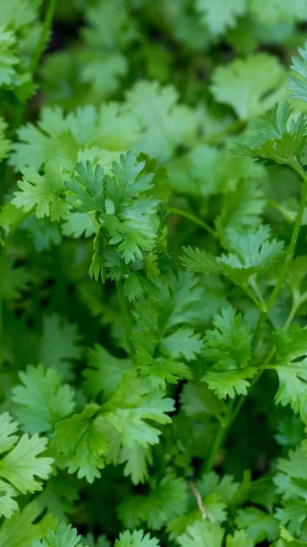
"The system will have multi-layer data from demographic details of area to biodiversity mapping, details of tree species, soil, rainfall, boundary and many more," Conservator of forests (south circle) MD Sinha told TOI on Tuesday.
"After the development of the system, officials can go to any area and get any details required from the mobile-based app. Even in case of an aerial survey over the forest area, all the information pertaining to a particular spot can be provided on mobile. This will be help in better understanding and planning," he added.
Based on the data captured on the application in case of a fire or an encroachment, the location of the specific area can be identified and administrative unit can generate report along with the map at just a click, officials said.
Besides senior officials can keep a track on field officers, using this application. "Based on the auto-tracking record of the mobile application, higher officials can keep a tab on the activities of field officials -- like if they have visited the forest area at a particular time or not," said officials, adding the system will also provide administrative forest-related details like division, range, beat, compartment and reaches.
Officials said the application will help the forest department in monitoring forest area with limited manpower and resources, checking encroachment and settling disputes related to boundary and land use of a particular area.It will also be of great help to the forest department in conservation of the Aravalis, where most of the areas are not recorded as forest and are under constant threat from realtors.
"The system will have multi-layer data from demographic details of area to biodiversity mapping, details of tree species, soil, rainfall, boundary and many more," Conservator of forests (south circle) MD Sinha told TOI on Tuesday.
"After the development of the system, officials can go to any area and get any details required from the mobile-based app. Even in case of an aerial survey over the forest area, all the information pertaining to a particular spot can be provided on mobile. This will be help in better understanding and planning," he added.
Conservator of forests (research) Vinod Kumar said the system will have multiple benefits. "It will be helpful in settling boundary disputes of forest area, without digging records. Boundary can be identified in seconds just by standing at a given place with mobile loaded with this application," said Kumar, adding it will be helpful in checking encroachment, monitoring of plantation sites etc. Moreover, it will bring in transparency in the system and data of this application will be admissible in a court of law, officials said.
Based on the data captured on the application in case of a fire or an encroachment, the location of the specific area can be identified and administrative unit can generate report along with the map at just a click, officials said.
Besides senior officials can keep a track on field officers, using this application. "Based on the auto-tracking record of the mobile application, higher officials can keep a tab on the activities of field officials -- like if they have visited the forest area at a particular time or not," said officials, adding the system will also provide administrative forest-related details like division, range, beat, compartment and reaches.
End of Article
FOLLOW US ON SOCIAL MEDIA


Hot Picks
TOP TRENDING
Trending Stories
In City
Entire Website
- Best Phones Under 35000 To Smoothly Carry Out Multiple Tasks On A Budget
- 'At least come for my funeral ...': Kharge's emotional appeal to voters
- Six killed in car-lorry accident in Telangana's Nalgonda
- 6 killed, over 13 rescued after major fire breaks out at Patna hotel
- EC seeks response from PM Modi, Rahul over MCC violations
- Monthly Money Horoscope for May 2024: Read your monthly astrological monetary predictions for all zodiac signs
- IPL Today Match RCB vs SRH: Dream11 prediction, head to head stats, fantasy value, key players, pitch report and ground history of IPL 2024
- Lok Sabha elections 2024 full schedule: Delhi to vote in phase 6 on May 25
- UGC NET 2024 in offline mode: Which is better for students? OMR vs CBT
- Union minister Nitin Gadkari collapses due to heat during rally in Maharashtra
- 'It has become your habit ... ': Kharge writes to PM, seeks time to explain Cong's 'Nyay Patra'
- 'Flop pair of do ladkon ki jodi': PM Modi's dig at Rahul, Akhilesh
- Why BJP's got its math wrong on Muslim birth rate
- MEA rejects US report on human rights abuse in India
- 'You can't afford me': Sehwag’s blunt reply to Sky Sports
- What ED said while opposing Kejriwal's plea against arrest
- What rise and rise of Big Mac Index means for Indian equities
- Jio takes on Netflix & Amazon with JioCinema plan starting at Rs 29
- IPL Live: RCB captain Faf du Plessis opts to bat vs SRH
- IndiGo orders 30 wide body Airbus A350s; has option to buy 70 more

Popular Categories
Hot on the Web
Top Trends
Lok Sabha Election Phase 2 Full ScheduleDelhi Lok Sabha Election ScheduleYesterday IPL MatchJEE Mains 2024JEE Main Session 2 ResultIPL Today MatchPat CumminsWealth RedistributionNEET UGArvind KejriwalIPL Orange Cap 2024IPL Purple Cap 2024IPL 2024 ScheduleLok Sabha Election Full ScheduleIPL Points TableIPL Match Full Schedule
Trending Topics
Manisha KoiralaEverest MasalaOptical IllusionTamannaah BhatiaMonthly Health HoroscopeRajkumar RaoVarun DhawanMonthly Career HoroscopeMrunal ThakurRajkummar RaoRaw MangoSonakshi SinhaAmitabh BachchanRadhika MerchantMaera MishraPreity ZintaBest Ceiling LightsBest Carrom BoardsBest Phones Under 35000Best Housewarming Gifts
Living and entertainment
Latest News
Sonakshi Sinha shares candid photos from 'Heeramandi' premiere as she expresses gratitude to Sanjay Leela Bhansali - See postNaveen's period lost years for Odisha: Amit ShahMansoor Ali Khan wants to join Congress, to work for making Priyanka or Rahul Gandhi PMNaveen's period lost years for Odisha: Amit Shah'It has become your habit ... ': Congress chief Kharge writes to PM Modi, seeks time to explain party's 'Nyay Patra'China launches three-member Shenzhou-18 crew to its space station'Get your spikes ready': Chris Gayle challenges Usain Bolt to 100m sprint showdown. Watch viral video‘The Pet Detective’ starring Sharafudheen and Anupama Parameswaran goes on floorsChina launches three-member Shenzhou-18 crew to its space stationAnkita Lokhande and Vicky Jain all praises for filmmaker Sanjay Leela Bhansali; write ‘were in total awe of Sir’s grand vision’10 anime that will touch your soul after just one episodeTHIS is how Salman Khan turned cricket dream into reality for Anees Bazmee's son - Deets insideAnupamaa continues to rule the roost, Jhanak holds the second spot; most watched TV shows of the weekDidn't qualify JEE Mains 2024? Watch out for these state engineering entrance examsTG Bharat's election rally blocks all roads leading to Kurnool'Flop pair of do ladkon ki jodi': PM Modi takes dig at alliance of Rahul Gandhi, Akhilesh Yadav in UP'Flop pair of do ladkon ki jodi': PM Modi takes dig at alliance of Rahul Gandhi, Akhilesh Yadav in UP'Flop pair of do ladkon ki jodi': PM Modi takes dig at alliance of Rahul Gandhi, Akhilesh Yadav in UP
Copyright © 2024 Bennett, Coleman & Co. Ltd. All rights reserved. For reprint rights: Times Syndication Service