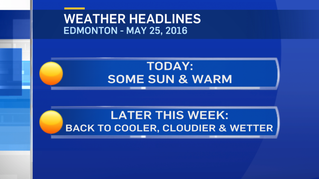
Sunshine & blue skies to start the day in the Capital Region.
But, we may be back to showers & thunderstorms before the day is through.
A surface trough of low pressure will in western Alberta & some daytime heating will combine to generate some clouds & precipitation this afternoon.
Areas from Grande Prairie/Peace River south through to Rocky Mountain House have a chance of afternoon & evening showers and/or thunderstorms.
Further east, it's more of an evening risk of showers/thunderstorms.
The best chance for the Capital Region to get some of that action will be between 5 & 10pm.
A developing Upper Low in BC will sweep SE Thu/Fri to destabilize things Thu/Fri.
So, we're back into a cooler, cloudier & wetter pattern to close the week.
Both the GFS & GEM models are projecting 15-30mm of rain by Saturday with a chance of a few more showers on the weekend.
Here's the Edmonton forecast:
Today - Sunny this morning. Increasing afternoon cloud.
30% chance of a late-afternoon shower or thunderstorm.
High: 22
Tonight - 60% chance of an evening shower or thunderstorm.
Evening: 16
Thursday - Mostly cloudy. 70% chance of showers in the afternoon & evening.
Morning Low: 9
Afternoon High: 19
Friday - Mostly cloudy. 60% chance of showers.
Morning Low: 9
Afternoon High: 17
Saturday - Mostly cloudy. 30% chance of evening showers.
Morning Low: 8
Afternoon High: 16
Sunday - Clearing.
Morning Low: 6
Afternoon High: 15
Monday - Mix of sun & cloud.
Morning Low: 6
Afternoon High: 15
Advertisement
WARM & SUN (BUT NOT FOR LONG) - May 25, 2016
CTV Edmonton
Published Wednesday, May 25, 2016 8:27AM MDT
Published Wednesday, May 25, 2016 8:27AM MDT
